Jump to content
Jump to footer

The best GPS apps for hiking

Practical, useful and guaranteed added value on every trip
App for compass when hiking

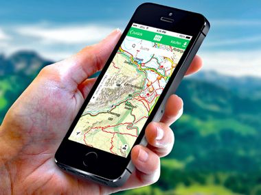
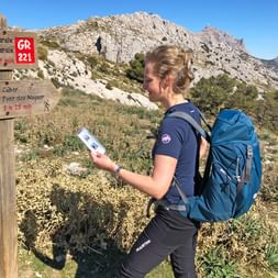
GPS apps on your smartphone offer you orientation, security and assistance when hiking. Although the Eurohike hiking tours are well organised and planned, it often doesn’t hurt to have a little helper installed on your phone. The GPS function not only provides you with all the data about the hike you have completed. You also have the latest topographic maps with you in digital form. The Eurohike team have done some research across the jungle of apps and filtered out the best ones for you.

The apps presented can be installed on both iOS and Android operating systems. Some providers have a Pro version available, which can be used for an additional charge and offers some extras.


App for compass when hiking

Outdooractive – the app for the perfect tour search

The hiking routes from the Eurohike team are practical and meet every requirement. However, would you like to explore the area before or after your hiking tour or explore the mountains of the holiday destination on your own? Understandable! With the Outdooractive app you have a large selection of hiking tours in your area at your fingertips.

You will also receive information about the route and duration, the altitude profile, the difficulty and much more. There is also the item ‘Top Tours’. It contains a clear list of all routes that offer special highlights.

Compass – for big and small outdoor adventures

The Kompass app is a reliable companion for every hike. It has maps marked with hiking trails, which are available both online and offline. In addition, you can easily plan, save and record your own tours.

In addition to live tracking and trail recording with altitude information, the app also provides you with numerous hiking tips and pieces of advice, as well as lots of inspiration for the most beautiful hikes in the region.

Compass-App

Komoot – the practical GPS for on the go

Is your geography not the best, and you need help with planning? The Komoot app provides you with a personal tour at the click of a button. Simply set a start and end point and the app compiles the route. You can also draw waypoints on the map yourself. In addition, the tool offers very detailed route information, such as the nature of the route. There is nothing standing in the way of optimal preparation for the hike.

Bergfex – the all-rounder app

Tours, parking, duration, distance – the Bergfex app can do it all. Only the map material is not too extensive and you need the Pro version if the maps are to be used offline i.e. without an internet connection. The operation of the different menu items is easy. With the items ‘map’ or ‘search’ you can search for individual tours and get a clear list of the filtered results.

Maps 3D (valid only on the iOS operating system)

The heart of this app is the map function. You can choose between several topographic 3D maps. The hiking trails, contour lines, mountains and individual mountains are clearly illustrated in 3D.

In addition, the maps are valid for the whole world and there is the possibility to create and download individual sections.

Summit hiking on the Dachstein

Are you interested in even more useful helpers and other apps for the perfect hiking tour? The Eurohike team has already summarised tools and hiking apps that make every tour easier and enrich it at the same time in a blog post.

You now receive special conditions when you book a trip.